The Forest Setting
01
What Makes Black Forest Different
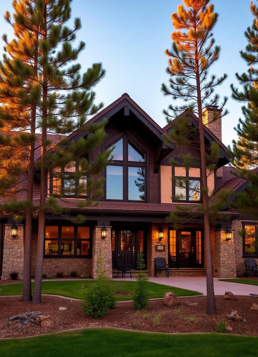
Black Forest is an unincorporated community in northern El Paso County covering roughly 100 square miles, named for the dense stand of ponderosa pine that sets it apart from the surrounding plains. Elevations are generally in the 7,000 to 7,600 foot range, higher than most of Colorado Springs, which brings more snow, stronger sun, and cooler nights.
The area's character has been protected by long-standing land-use policy. The Black Forest Preservation Plan, first adopted in 1974, emphasized low-density development with five-acre lots in the timbered areas. Much of the forest is zoned RR-5, El Paso County's five-acre rural residential district, with larger A-35 agricultural parcels in some areas. Gated custom home communities such as Cathedral Pines, with 158 homesites on about 810 acres near Highway 83 and Shoup Road, and High Forest Ranch, with estate lots from 2.5 to 39 acres near Highway 83 and Hodgen Road, sit alongside individually owned acreage throughout the forest.
Because there is no town government, land use is administered by El Paso County Planning and Community Development, building permits by the Pikes Peak Regional Building Department, septic permits by El Paso County Public Health, and well permits by the Colorado Division of Water Resources. Understanding how those agencies fit together is part of building well here.
- Unincorporated land
- El Paso County handles land use, while the regional building department administers building permits and inspections.
- Five-acre character
- Much of the forest is zoned RR-5 with a five-acre minimum, 200-foot lot width, and 25-foot setbacks.
- Higher elevation
- At roughly 7,000 to 7,600 feet, homes see more snow, wind, and UV than most of Colorado Springs.